Shit hits the fan on day 2 of hiking (+ I’m injured)
Sooo today was most definitely an ordeal… And it’s changed how we’re planning the next couple of days in the region.
We set off this morning after a quick trip to a local hiking shop in Coniston. We needed to get another hiking pole for Dad after he snapped it in half yesterday, I needed another pair of hiking socks, a couple of postcards for my collection, more Kendal mint cakes of course (this absolutely slay me).
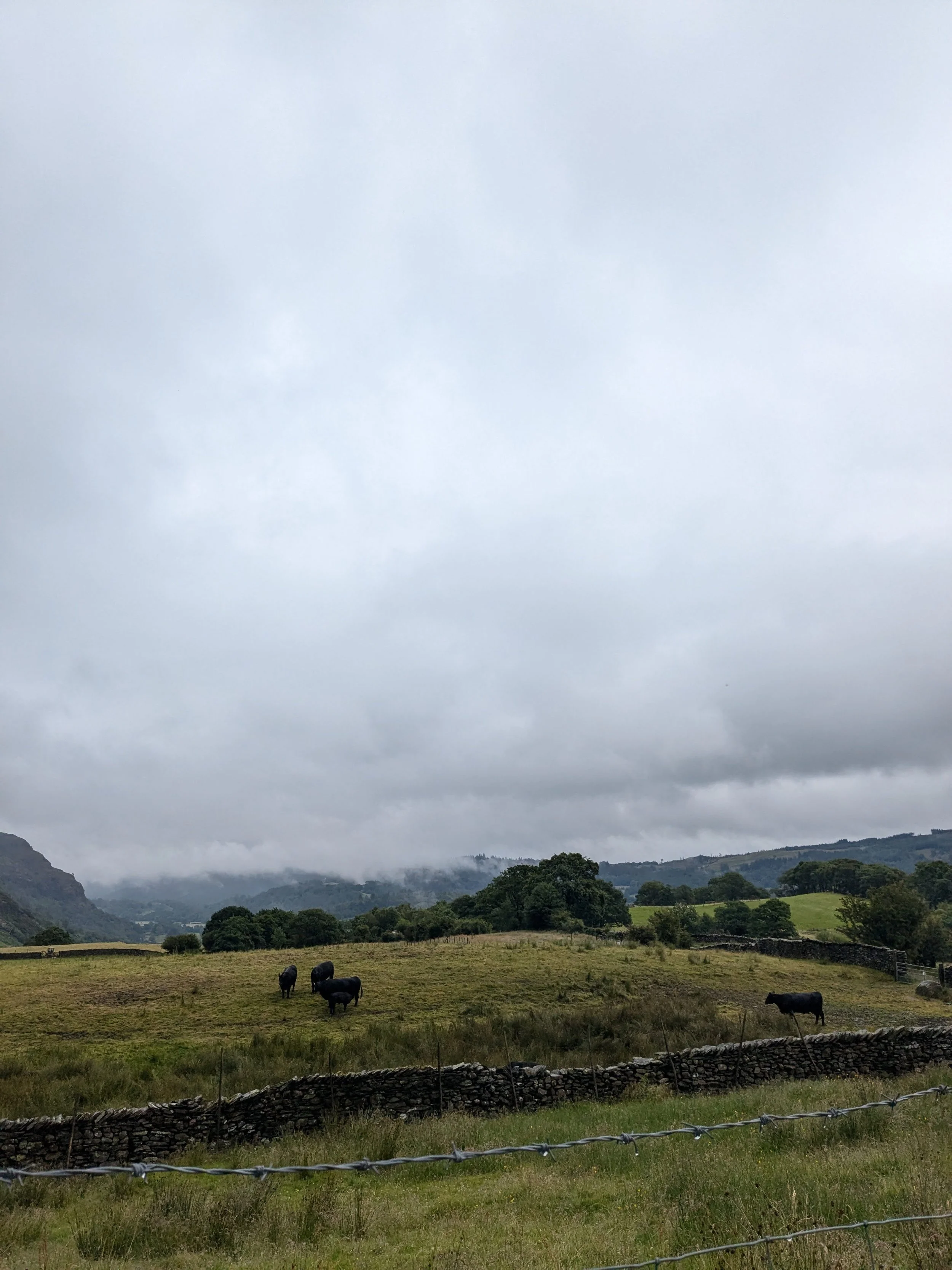
The first many miles were quite steep, heading up from the town towards the Old Man Coniston, which is a crackers name for a hill but anyways. The direction (at this stage) was quite direct, and we saw many people out on the trails. Continuing up past a car park the trail got significantly steeper and kept going up into the clouds. It seemed there wouldn’t be an end to the climb, and as the rain set in, every bend we would hope for a downward path, yet it did not come for a while. At the top I’m sure we would’ve had lovely views on any other day, but today we couldn’t see more than 4 metres in front of our feet.
Eventually we did descend the ‘hill’ (more like mountain, honestly) and ventured past a campsite and into the tiny village of Seathwaite. Descending down into Seathwaite was when my knee really started heating up. Every time I would bend it or try to put weight on it a sharp shooting pain from my knee greeted me confidently. At this point there wasn’t anything I could do but push on, so we did. From there we ascended again, following a waterfall up another steep pass. We confirmed directions with a random guy at a farm on the route and continued.
This is when things started to go pear-shaped. We got to a point where I didn’t have reception, the maps we had didn’t help, and the instructions from Orbis Ways (who we booked with) proved useless. We genuinely had no idea where to go. Luckily we ran into 2 hikers also heading into the same valley we were, as well as the same guy from the farm who’d gone for a run. We got some more directions from him and continued up a small, overgrown trail. The mud on this path was awful, and with my knee in its current state, it made every step physically difficult and also excruciating. I tried not to look on my maps to see where we were, as I knew we weren’t making good ground, and still had a long while to go. Eventually we came to a gate from which we could see buildings and a road. Civilisation! It was very disconcerting being so isolated for such a long time given how busy the trails were yesterday, so I was glad to see some remnants of people. We descended for the last time and crossed Esk River (photos below!)
Now the thing is, the shit hasn’t started to hit the fan yet. We reached the bottom and found a car park, from which we had zero clue where to go. Maps not helpful, reception also gone. I found our Inn on google maps and saw we were facing it’s direction, so off we went. Unfortunately for us the road to Boot was extremely steep and over 3 miles long, not what we had expected. After coming to accept how shockingly inaccurate the instructions we were given are, we ignored our doubts and started the trek.
A couple of kms in, I lost our location again, and the time to Boot had increased, we thought due to our slow pace. Red flag number 298704. A car drove past us and we waved them down, to confirm we were headed the right way. They said they couldn’t give us a lift as they had a dinner reservation at the Woolpack Inn (another red flag) which was the other direction, but said we were around 3 miles away from Boot- as this was similar to my limited google maps, we continued. They said on parting they would wave down another car coming up the road, this time in the same direction as us, and give us some help. At this point we were running low on water, and my knee was in agony. The rain was torrential, we were soaked through to the bone. We saw the first car stop and chat to those in the second, so we waited for them to meet us. Selfish pricks looked at us right through the windscreen and drove right past. When I tell you how my heart sank.
We had no other option other than continue forward, on foot. With suddenly one bar of signal, I checked the maps and my heart sank again. We were headed in the complete wrong direction. Turns out the Woolpack Inn was actually on the same road as our accommodation. We could’ve gotten a lift with the first car half an hour ago and got dropped at the Inn and walked across. But no, now we had to walk all the way back down the side of the hill to where we started, then do the same distance the other way to actually reach our Inn.
I almost cried, screamed and collapsed. Not joking. Not even because of the distance, but I was in agony with my knee, which initially only hurt in descent, now hurt every time I moved. All I wanted to do was just to get there. And now we were still at least an hour away, in torrential rain with little water.
I looked back to where we needed to go, and saw 2 headlights around a couple of bends, slowly coming closer. I had a final wave of hope as we tried to wave them down. They pulled over and we met up with them. Turns out the guy in the car’s name was Matt, he was on holiday to the Lakes from just outside London. He did take a bit of convincing, mostly because we looked like completely drowned rats, and his car would inevitably be soaked. We must’ve looked pitifully awful, because he re-arranged his stuff in the car and we got in. I was so relieved it’s crazy.
More than relieved I felt incredibly stupid. I had unsuccessfully led us down a single road that only had one correct direction. My confidence has definitely taken a big knock after the events of today, and though Matt got us to the Inn in one piece, and we gave him some money for a pint and everything worked out, I’m definitely not so self-assured as I was yesterday. If I could make such a simple error in which way to walk up a road, what else could I mess up?
Back at the Inn we had showers and dinner, before talking out our plans for tomorrow. With my knee in its current state, and our lack of confidence in our maps and instructions, especially in such a rural, we decided to call off tomorrow’s leg, from Boot to Buttermere. Although seemingly relatively flat, with quite clear weather, we’re just so apprehensive about directions and how we know we’re on the right track. Will update on how this goes, our luggage will still get transferred between towns but we’re going to try to get a lift with the people who will be collecting our suitcases or call Orbis Ways to arrange a transfer. We’ll see how we go for future legs and how my knee goes, we’ll probably get a transfer to the town each day then do a decent day trip out and back, if that makes any sense.
Although it is disappointing that we won’t be able to do the hike as specifically planned, we’ll still see some amazing places and get some kms under the belt. Will let you know how it goes!
Currently MIA,
Lauren x